Sattva Green Groves Map
Sattva Green Groves Map tells you exactly where the project is in Bangalore. Sattva Green Groves is in Nelmangala, Bangalore, which is a prime area in the city. The map will show the nearest metro stations, bus stands, railway stations, schools, malls, and everything around the project.
Sattva Green Groves Launch Details:
| Launch Date | May 2024 |
| Possession Date | Dec 2028 |
| Duration | 4 years |
| Total Project size | 52 acres |
| Type of Units | Plots |
| Plot Size | 600 sq ft to 1500 sq ft |
Nearest bus stop to Sattva Green Groves
The project is in a prime location that has the best road network with a lot of BMTC buses. Cabs are there 24*7 for the people in the area. The Nelamangala Bus Station is 1.7 km from the project location.
Railway Network

The project has access to the railway network and trains to connect to all areas easily. Bhairanayakanahalli railway station is just 13 km from the project location.
Air Connectivity

Kempegowda Airport makes traveling very easy for all travelers here as it can be reached via NH-44 and NH-75 in 1 hour and 5 minutes. The Airport is 50.4 km from the project location.
Metro Station

The area has access to major Metro stations and the upcoming metro network will make travel easy in the area after completion. The Peenya Metro Station is 17 km from the project location.
The map also shows the hospitals, schools, and shopping areas nearby, and everyone can refer to it to know the exact distance from the project.
Schools nearby
- Ghps School – 850 m
- Sunrise English School – 2.4 km
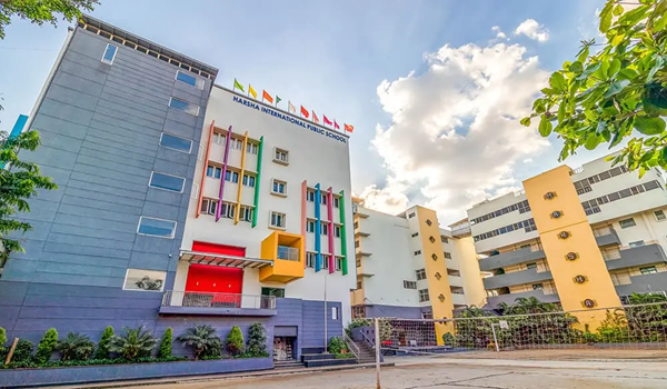
- Harsha Public School – 1.7 km
- New Century School – 1.8 km
- St. Teresa's English High School – 2.3 km
- Thomas Memorial High School – 2.7 km
- Vishal English School – 2.4 km
IT Parks nearby
- Kalyani Plaza – 45.4 km
- Manyata Tech Park – 31 km
- ITPL – 45 km
- Embassy Tech Village – 47.7 km
- Bagmane Tech Park – 35.7 km
- Rmz Ecoworld – 48.7 km
- IBC Knowledge Park – 34.3 km
- Eco space – 48 km
Shopping Centres near Sattva Green Groves
- Orion Mall – 21.6 km
- Sri Maruthi Complex – 900 m
- Maruthi Plaza – 29 km
- S Mall – 43 km
- Sarvamangala Market – 1.3 km
- N.H. Complex – 4.2 km
- Atri Square – 3.9 km
Hospitals near Sattva Green Groves
- Harsha Hospital – 1.7 km
- Shree Surya Hospital – 1.8 km
- Mathrushree Hospital – 1.3 km
- Manasvi hospital – 200 m
- Ravi Nursing Home – 1.8 km
- Care Asia Hospital – 850 m
The location of Sattva Green Groves on the map places it in one of the fast-growing neighborhoods of the city. It is one of the popular housing areas where everyone can invest to get a good ROI later.
| Enquiry |
